Transportation is the lifeblood of local economies and Gateway85’s convenient location, with access to I-85, I-285, Hwy 29, Buford Hwy and Peachtree Industrial Boulevard, has long made it a prime location for businesses and residents. Gateway85 works to improve mobility throughout the district with strategic infrastructure improvements aimed at alleviating congestion in the corridor.

From building sidewalks and enhancing intersections to expanding transit access, Gateway85 is committed to making transportation safe and convenient for all that live, work or play in our community. We also work with local, county, state and federal partners to ensure that mobility options are available for all modes of transport within the district.

Transportation

Jimmy Carter Boulevard

Interchange

1. The Diverging Diamond Interchange
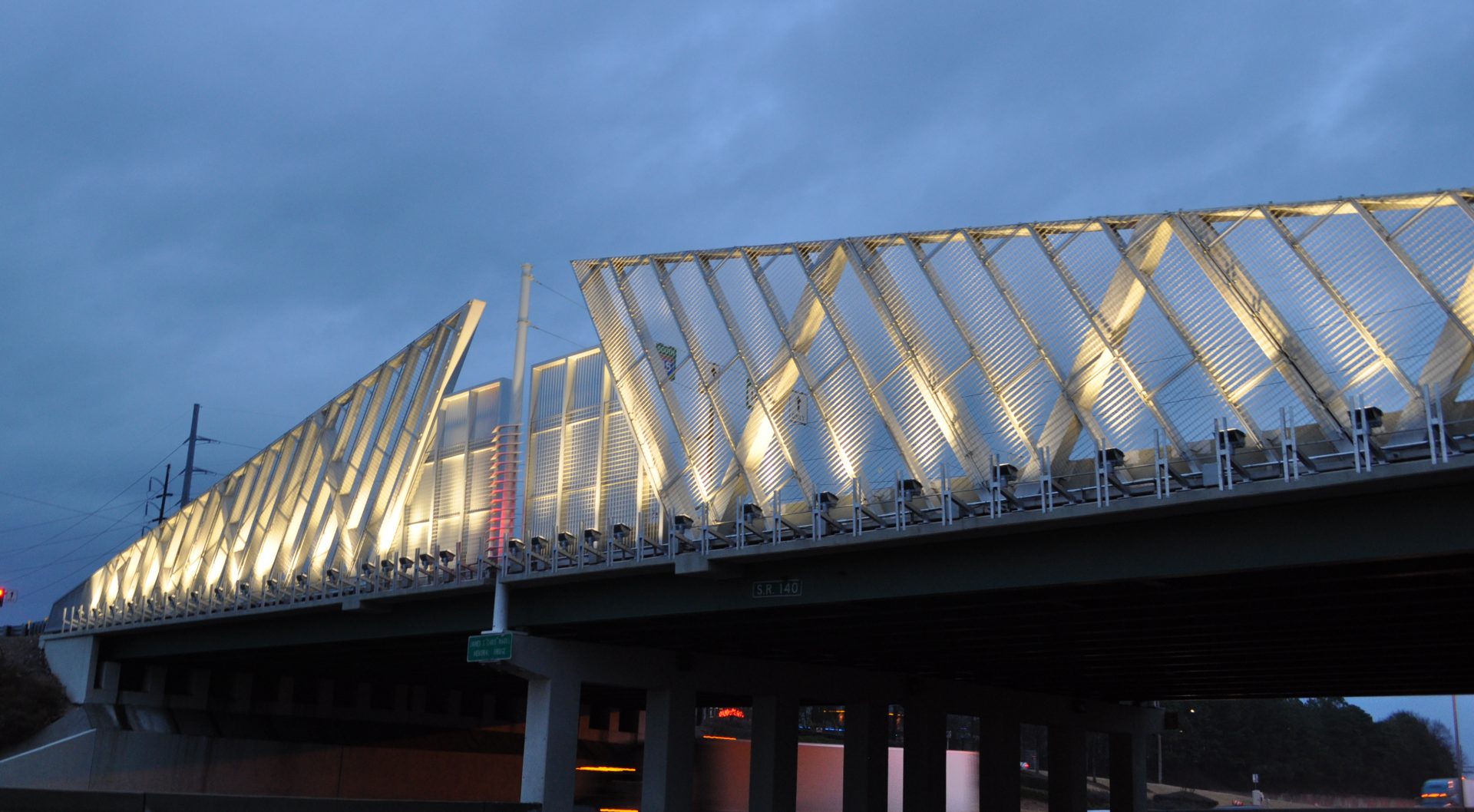
In 2016 the CID joined local and regional partners to celebrate the official completion of the Jimmy Carter Boulevard and I-85 diverging diamond interchange. Not only has the project created an iconic structure that can serve as a symbol of the area’s progress, but it has also achieved its ultimate goal of improving mobility for the thousands of motorists who rely on the corridor every day.

2. I-85 Flex Lane Added from Jimmy Carter to Indian Trail

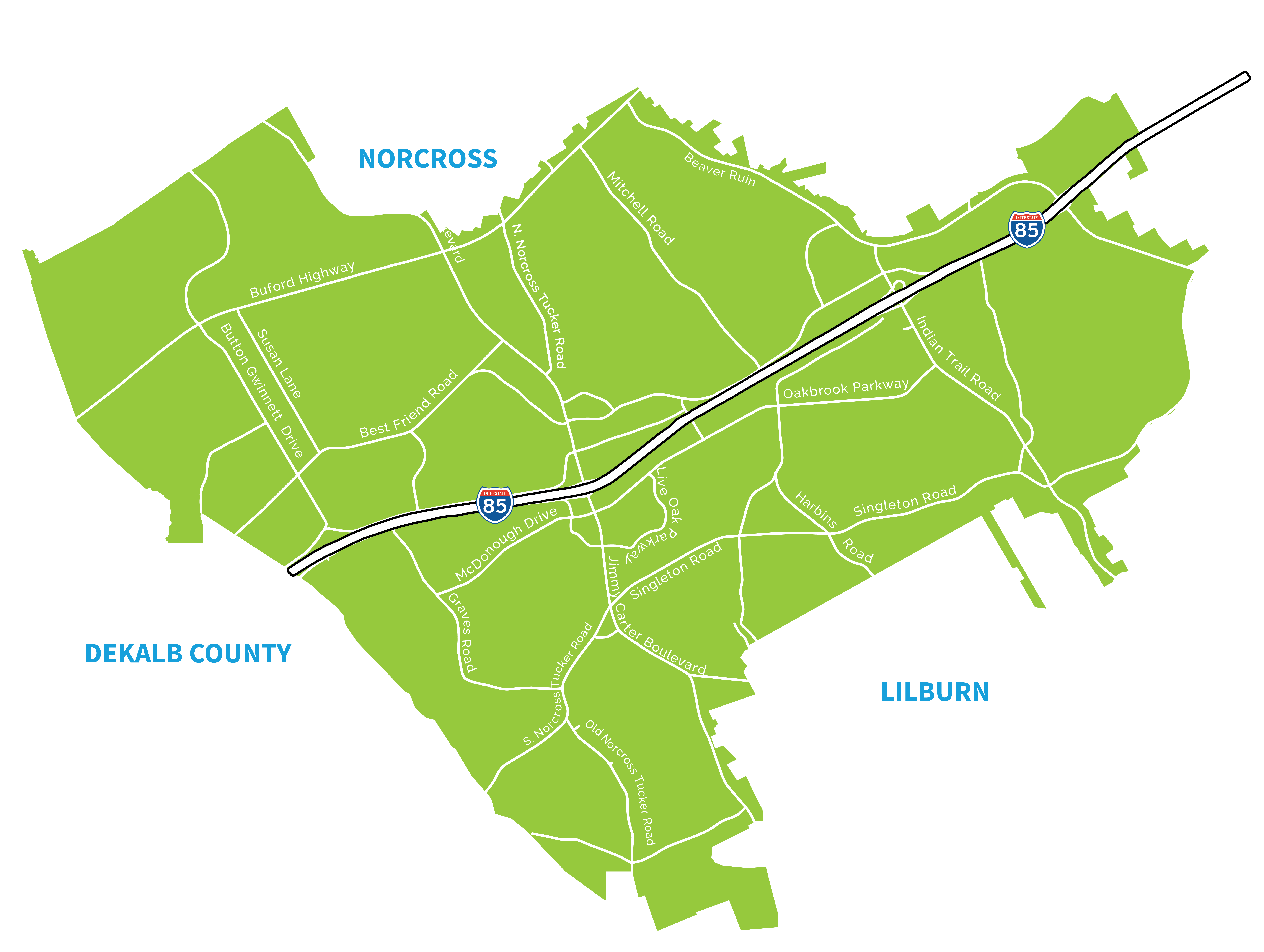
Project Map

Intersection Improvements

3. The Singleton Road intersection improvements

4. Intersection improvement at Jimmy Carter Boulevard and North Norcross Tucker Dr

5. Intersection pedestrian upgrades at Jimmy Carter and Goshen Springs

6. Intersection improvements at Jimmy Carter and Best Friend Rd

7.  Intersection pedestrian upgrades at Jimmy Carter and Buford Highway

Beautification

8.  Jimmy Carter landscaped medians (Goshen Springs to Oakbrook Dr)

9.  GDOT Gateway landscaping at Jimmy Carter and Oakbrook Pkwy

10.  Interchange landscaping at Jimmy Carter Boulevard and I-85

Indian Trail Road

Upgrades

11.  Additional Left turn lane onto I-85 NB ramp

12. Mast arms/interchange upgrades at I-85/Indian Trail

13.  Proposed fencing upgrades

Beautification

14. Landscaping of Indian Trail/I-85 interchange

15. Landscape medians from Beaver Ruin Road to Oakbrook Pkwy

Intersection Improvements

16. Intersection upgrades at Indian Trail and Brook Hollow Pkwy

17. Intersection Upgrades at Indian Trail and Oakbrook Pkwy

18. Access management/safety enhancements for Indian Trail from Beaver Ruin to Oakbrook Pkwy

Sidewalks

19.  I-85 to Oakbrook Pkwy

20. Willow Trail

21.  Tech Drive from Indian Trail to Singleton Road

22. Multi-use path, Beaver Ruin to Lilburn (design phase)

Beaver Ruin Road

Beautification

23. Landscaping of I-85/Beaver Ruin interchange

24. Landscaped medians- I-85 to Light Cir

Sidewalks

25. I-85 to Singleton Road

26. I-85 to Satellite Boulevard

27. Beaver Ruin Rd to Pond Road

28. Satellite to Castor Dr

29. Castor Drive

30. Pinnacle Way to Indian Trail Road

31. Light Cir to Light Cir

32. Multi-use path from Price Place to Indian Trail

Buford Hwy

Beautification

33.  Landscaping from DeKalb County Line to Gwinn Dr

Sidewalks

34. DeKalb County Line to Jimmy Carter Boulevard

Transportation Studies

Examined transportation and land use improvements : This Livable Centers Initiative Study examined land use and transportation improvements along Indian Trail – Lilburn Road from Beaver Ruin Road to Lawrenceville Highway and generated a 5 year transportation plan with specific needed projects. Two of these projects – two sections of a side path along Indian Trail – have been pre-approved to compete for LCI transportation implementation funds.

Download Original Study

Download 5-Year Update

Download 10-Year Update

This Livable Centers Initiative Study examined land use and transportation improvements along Jimmy Carter Boulevard from Buford Highway to Singleton Road and generated a 5 year transportation plan with specific needed projects. Two of these projects along the boulevard – safety improvements at Singleton Road and North Norcross Tucker Road – have been pre-approved to compete for LCI transportation implementation funds. To read the study please download the PDF here.

To find out more information check out the Jimmy Carter LCI page!

Download Study

The Atlanta Regional Commission initiated a program to examine how the future transportation system investments would accommodate future corridor travel for workers and local residents, within the context of anticipated residential, employment, and development changes. One of the initial studies was Buford Highway from Sidney Marcus Boulevard in Atlanta to SR 120 in Duluth. The CID has been building off these recommendations for improved pedestrian, bicycle and transit opportunities.

In 2007, the CID looked at truck traffic along Jimmy Carter Boulevard to ensure the best mobility for our businesses and residents. Interestingly, the existence of truck traffic was more of a perception issue with truck traffic percentage not significantly high on a regional level. Still an opportunity was found to better educate freight drivers on alternate routes to avoid local bottlenecks though signage and outreach, as well as some local through routes roads that need future upgrades. 

Download Study

Pedestrian and Bicycle Connectivity Study for the Indian Trail and Jimmy Carter LCI Corridors

Download Study

Be sure to check out our various initiatives and projects!